Teknopark Ankara 2224. Cad.06378 İvedik OSB / Yenimahalle /ANKARA
With the efficient technologies it has developed, Tytovision offers smart solutions such as visual data generation, mapping, problem detection and reporting for you to build a safer and more effective traffic infrastructure. Get a free demo appointment!
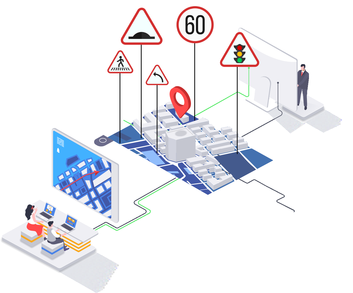
Thanks to the Tytovision Smart Mapping Platform, users are able to view and control all the generated data on a single map.
The specific data user wants to display can easily be filtered on the platform.
Street View data’s and all other data’s comparisons with their previous states (time travel) can be viewed separately for each point and object.
All numerical data of inventories, deformations and roads are on from the platform.
The surroundings of the desired address or place (eg: School, Hospital) can be viewed from the location search tab, without the need to drag the map.
Important traffic safety controls such as Pedestrian Crossings-Pedestrian Crossing Signs, Speed Bumps-Speed Bump Signs and Traffic Lights- Traffic Light Signs can be done manually on the main map of the platform.
When any complaints about infrastructure are received, discovery and control can be made from street views on the platform, which saves transportation costs and time to the user institutions.
The results of analyzes can also be presented to the user on the platform.
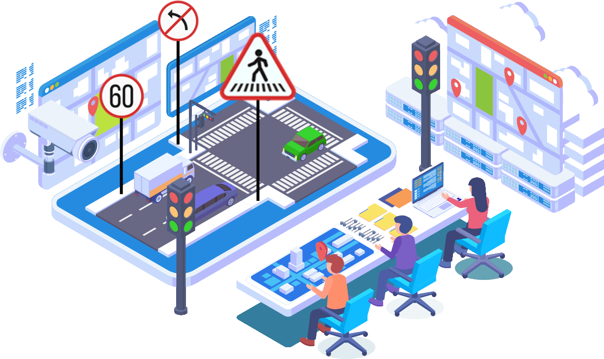
Analysis
Tytovision produces it’s analyzes according to special requests from its customers for each city's own problems!
Thanks to the analysis, important traffic safety and traffic infrastructure controls in public areas (such as parks, squares and terminals, especially schools and hospitals) are easily carried out.
Problem determinations, inventory numbers, varieties, ratios and harmony of inventories, density maps can be visualized by Tytovision’s analyzes.
Thanks to all these reports and analyzes, the needs can be determined more clearly. And it can be predicted that at what rate, quantity and size of future service should be provided to city, and also sign and other inventory purchases should be made in the future. With this, significant contributions can be made on budget calculations in the short and long term.